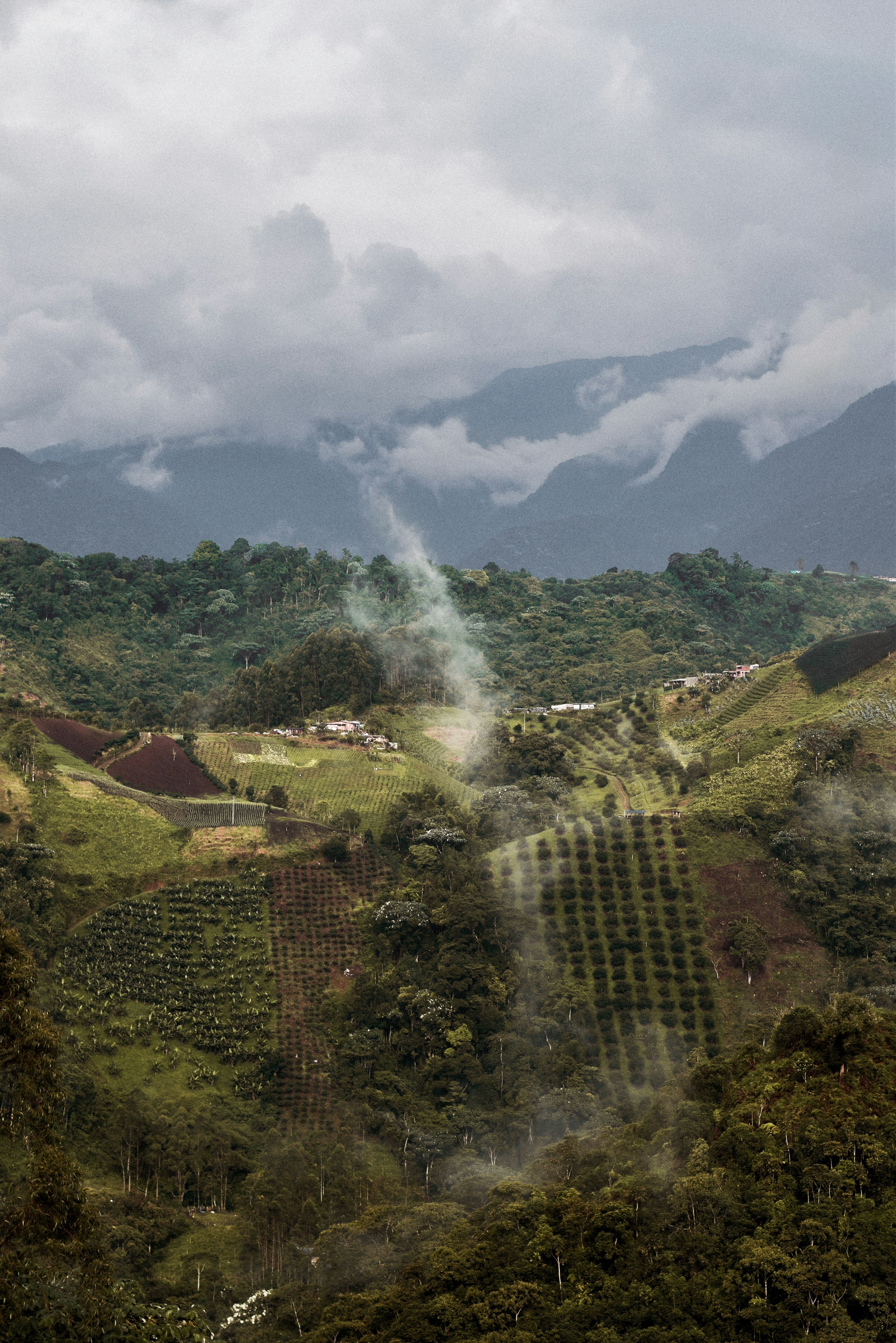
Chanzará & Alto Río Sequihonda
The project at a glance
Chanzará & Alto Río Sequihonda spans 12,858.93 hectares of collective territory on Colombia's Pacific coast, across Nariño and Cauca, where two Afro-Colombian community councils steward biodiverse rainforest and mangrove. The project protects these Chocó ecosystems through community-led forest management under the Plan Vivo standard.
The initiative brings together multiple veredas in coordinated land management, combining forest protection with sustainable livelihood development. Communities receive direct revenue from carbon credit sales, creating economic incentives that make forest conservation more viable than conversion to agriculture or extractive industries.
The project places 9,385 hectares of forest under active protection within a 62,542-hectare monitored reference region, across 16 veredas governed by the Chanzará and Alto Río Sequihonda councils. It runs from 2023 to 2053, with verified monitoring and transparent reporting at every stage from credit issuance through retirement.
This is not a distant conservation project imposed from outside. It is rooted in the territorial rights and decision-making authority of the communities who have protected these forests for generations. Every credit issued represents verified carbon sequestration and genuine community benefit.
Where forest meets the Pacific coast
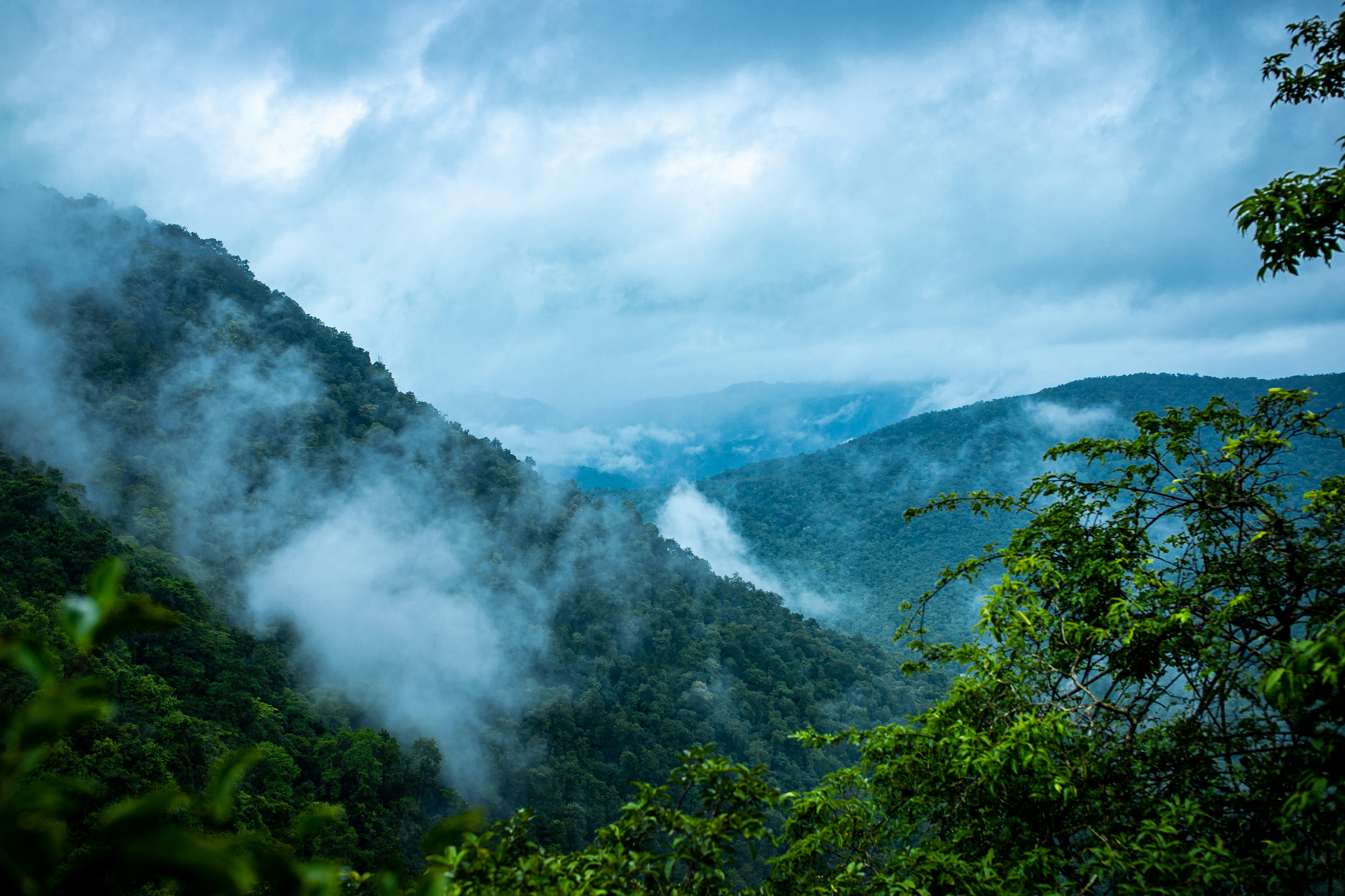
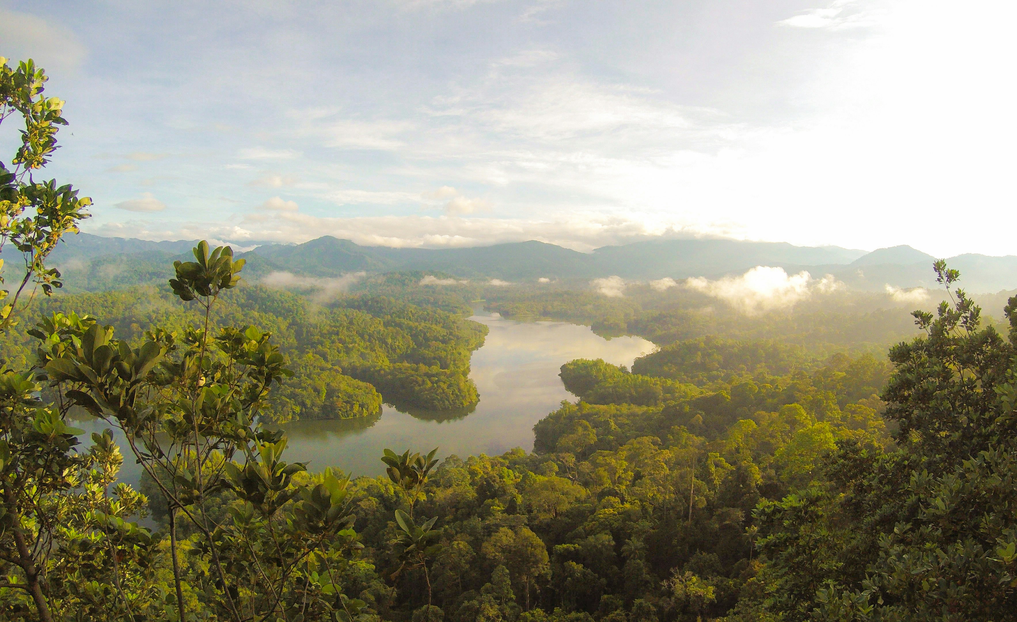
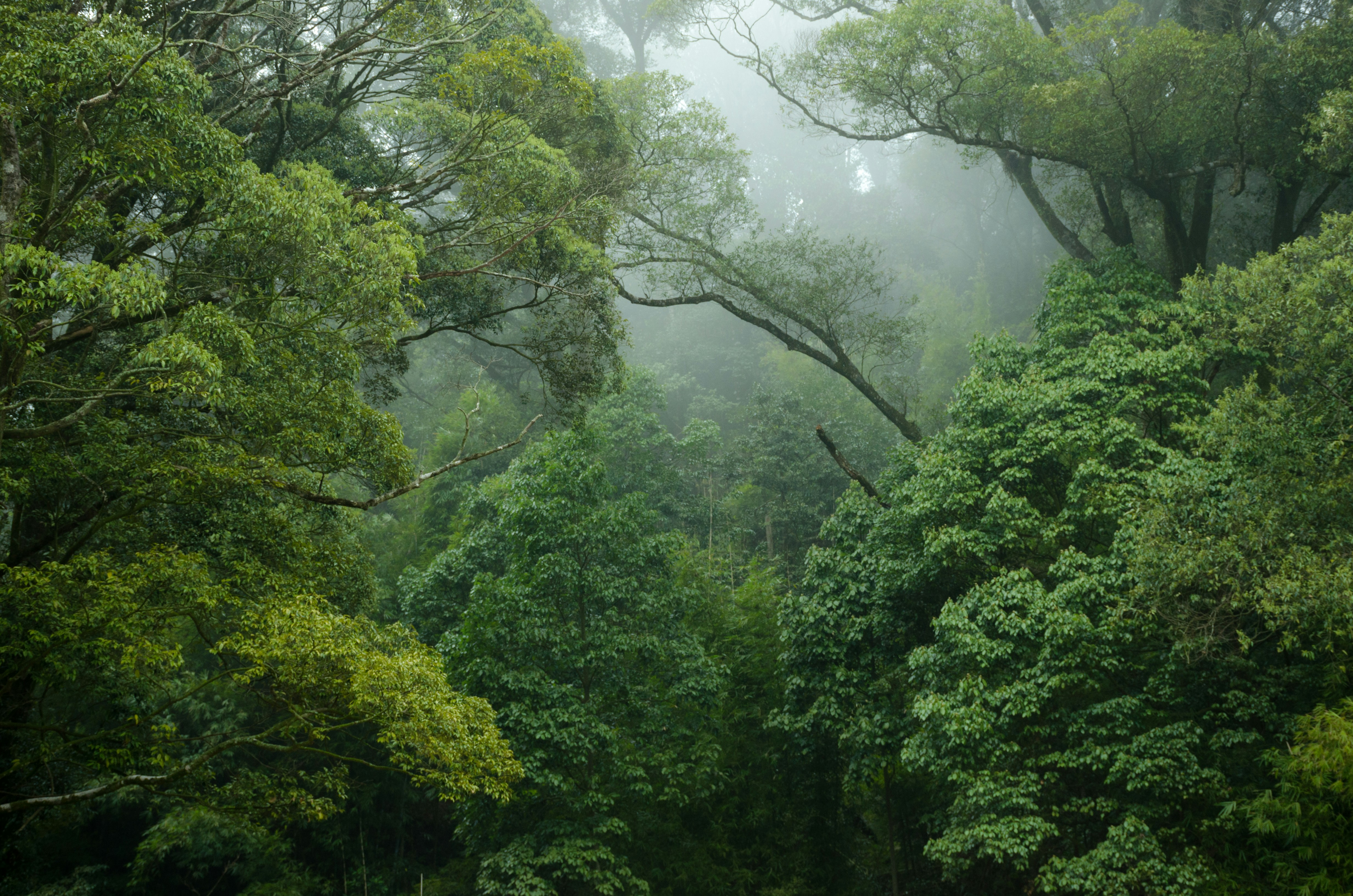
The biogeographic Chocó is one of the world's most biodiverse regions, a belt of lowland rainforest and mangrove along Colombia's Pacific coast that stretches south through Cauca and Nariño. Chanzará & Alto Río Sequihonda sits within this landscape, across the municipalities of Guapi (Cauca), Santa Bárbara de Iscuandé and El Charco (Nariño), where the Sequihonda and neighbouring river basins feed waterways that supply communities and ecosystems across the region.
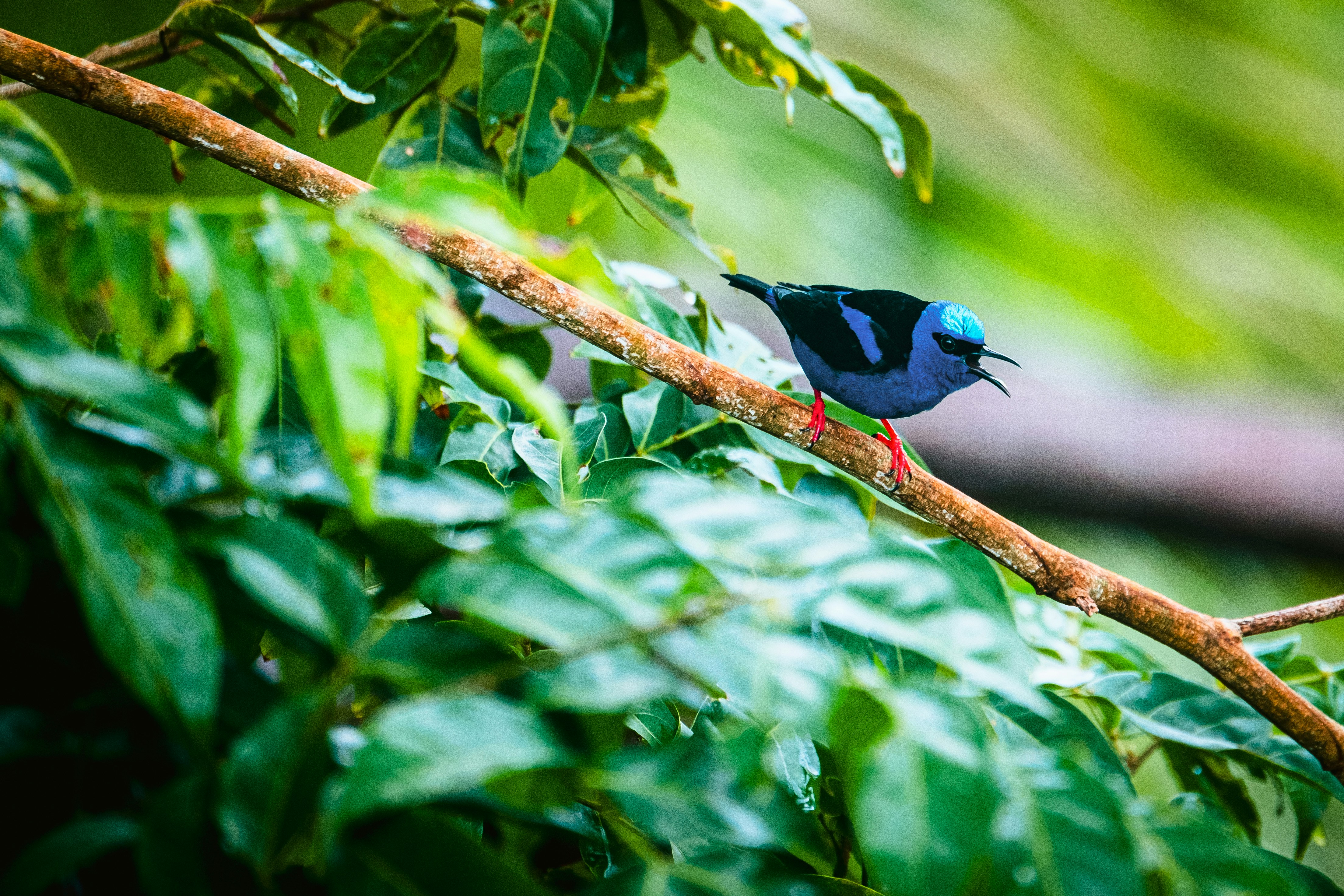
The forest here is dense with endemic species found nowhere else on Earth. Jaguars, harpy eagles, poison dart frogs, and countless plant species depend on the integrity of these connected forest landscapes. The watershed functions are equally vital, regulating water flow and quality for downstream communities and agriculture.
Deforestation pressure is relentless. Illicit-crop expansion, unsustainable artisanal mining and selective logging fragment the forest, intensified by armed-actor pressure across the region. Without alternative income, communities face mounting pressure to clear their own land, and forest loss accelerates each year, taking carbon storage and irreplaceable biodiversity with it.
Chanzará & Alto Río Sequihonda exists within this landscape of threat and opportunity. The project recognises that forest protection must be economically competitive with destructive land uses. By generating revenue from carbon credits, the project makes it possible for communities to choose forest conservation as their economic strategy.
Communities lead, not follow
This project exists because communities decided it should exist. Free, prior, and informed consent (FPIC) was not a box to tick but a genuine process of community deliberation. Afro-Colombian leaders from both councils assessed the proposal, negotiated terms, and chose to participate on their own terms.
Governance is structured through community assemblies and territorial committees where decisions about forest management, benefit distribution, and project direction are made collectively. These are not advisory bodies that rubber-stamp decisions made elsewhere. They hold real authority over how the project operates and how revenues are allocated.
Participatory monitoring is embedded in the project design. Community members conduct regular forest patrols, document land-use changes, and contribute to the data that feeds into formal verification processes. This combines traditional ecological knowledge with scientific monitoring, creating a more robust and locally grounded approach to forest management.
Revenue sharing is transparent and participatory. Communities know exactly how much carbon has been verified, what price it sold for, and how the money flows back to them. Regular reporting ensures accountability and allows communities to adjust their strategies based on actual results.
Real carbon, not wishful thinking
Additionality is the foundation of integrity. Without carbon finance, would the forest still be standing? The baseline analysis for Chanzará & Alto Río Sequihonda demonstrates that communities face genuine economic pressure to convert forest to pasture or agriculture. Carbon revenue makes forest protection economically rational where it would otherwise be economically irrational.
Historic deforestation rates in the region provide the baseline against which project performance is measured. Remote sensing analysis tracks forest cover changes year on year. Community patrols document threats and enforcement activities. This combination of satellite data and on-the-ground monitoring creates a transparent, verifiable record of what is actually happening.
Leakage mitigation is built into project design. Activities focus on strengthening community capacity to manage their own territories, reducing the likelihood that forest protection in one area simply shifts pressure to another. Landscape-level coordination with neighbouring territories amplifies the effect.
Permanence is addressed through long-term community commitment and legal protections. The project is designed to generate ongoing revenue streams that make forest protection a permanent economic strategy, not a temporary intervention. Monitoring continues indefinitely, with regular third-party verification ensuring that carbon claims remain valid.
.jpg)
What communities actually do
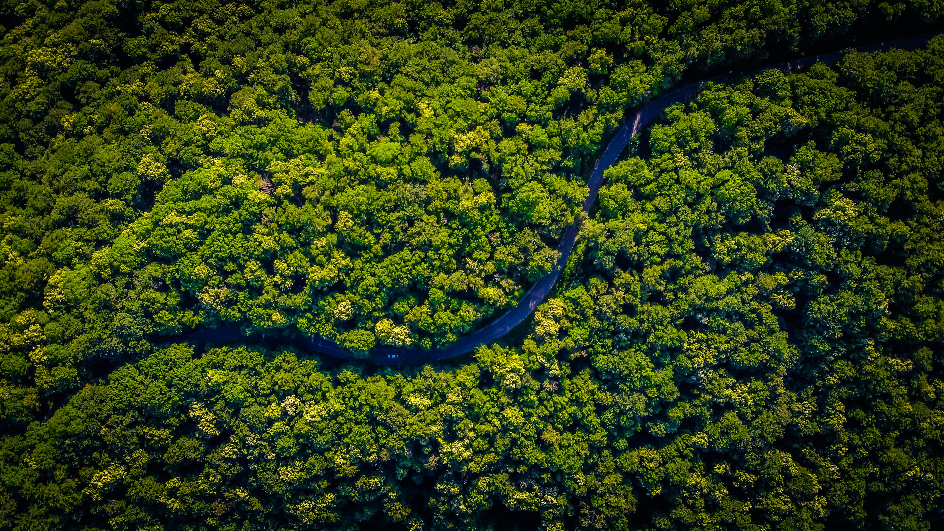
Forest monitoring is constant. Community members walk the forest regularly, documenting changes in vegetation, wildlife presence, and signs of illegal activity. This data feeds into formal monitoring reports that track carbon stock changes and verify that the forest is indeed being protected and, where applicable, restored.
Enforcement is a community responsibility. Territorial patrols deter illegal logging and hunting. Communities work with local authorities to address threats. This is not external policing but communities exercising their own territorial rights and protecting their own resources.
Sustainable livelihoods reduce pressure on the forest. Agroforestry systems integrate productive trees with food crops, generating income without requiring forest conversion. Non-timber forest products, cacao, fruit, medicinal plants, provide additional revenue streams. These activities are managed by communities themselves, ensuring that benefits stay local and that economic incentives align with forest protection.
Restoration activities target areas where forest has been degraded or partially cleared. Native tree planting, natural regeneration support, and habitat connectivity work expand the forest's carbon storage capacity and ecological function. These activities are labour-intensive and create employment for community members.
Money flows to those who protect
The benefit split is straightforward and exceeds Plan Vivo's 60% minimum. 65% of carbon revenue goes directly to the community councils, 30% covers project coordination, verification and the financing that makes the project possible, and 5% funds field implementation. The benefit of forest protection accrues primarily to those doing the protecting.
Community allocation processes are transparent and participatory. The councils themselves decide how their 65% share is distributed, collective territorial management, family livelihoods, community infrastructure or education. The allocation reflects community priorities, not external assumptions about what communities need.
Benefit sharing is documented and reported regularly. Communities receive detailed statements showing carbon volumes verified, prices received, and exact revenue flows. This transparency builds trust and allows communities to assess whether the project is delivering on its promises.
Revenue stability matters. Carbon markets are volatile, but long-term offtake agreements can provide predictable income streams. Communities can plan multi-year investments in forest management, education, and livelihood development when they know revenue is coming. This shifts the project from a speculative venture to a genuine economic strategy.

Built for Plan Vivo
On the path to certification
Chanzará & Alto Río Sequihonda is being developed under the Plan Vivo standard, which requires community-led forest management, rigorous carbon accounting and third-party verification. The project is at an early stage. A Project Idea Note has been prepared and certification has not yet started. It builds on the groundwork of ACADESAN, our lead project. We are building towards the end of the project design document. No credits will be issued before independent validation and verification.
Verification is not a one-time event. Regular monitoring reports document forest changes, community activities and carbon stock updates. Projects report to Plan Vivo annually, and third-party verifiers assess the project at least every five years, confirming that carbon claims are legitimate before further credits are issued.
Documentation is comprehensive and accessible. The Project Idea Note (PIN) outlines the project concept and community context. FPIC documentation demonstrates that communities have genuinely consented to participation. Monitoring reports provide detailed data on forest conditions and project activities. These materials are available to partners through our due diligence process, allowing informed assessment before credit purchases.
Registry transparency is non-negotiable. Every credit issued is registered in Mama Nature's public transparency register, with details on issuance date, verification status and retirement. Once a credit is purchased and retired, it is permanently removed from circulation, preventing double counting and creating an auditable record from issuance through final retirement.
Credits and vintages
Chanzará & Alto Río Sequihonda does not yet issue credits. Once the project is validated, credits will be issued annually, with each vintage representing one calendar year of verified carbon sequestration across the project area. Issuance will follow third-party verification of monitoring data, expected within six months of the close of each monitoring period. Each credit will represent one tonne of CO2 equivalent removed or sequestered."
Serial numbers will be assigned sequentially upon issuance, with full traceability maintained from creation through retirement. The registry records the vintage year, issuance date, verification statement reference, and project identifier for every credit. This will create an auditable chain of custody that allows any stakeholder to verify the legitimacy of a credit at any point in its lifecycle.
Retirement is permanent and irreversible. Once a credit is purchased and retired by an end user, it is marked as retired in Mama Nature's public transparency register and removed from circulation. The retirement date, purchasing entity, and intended use are recorded. No credit can be sold twice, and no retired credit can re-enter the market.
Issuance cadence follows the monitoring and verification cycle. Annual monitoring reports are compiled, submitted for third-party verification, and upon approval, credits are issued. This regular rhythm provides predictable supply and allows communities to plan based on expected annual revenue flows.
Registry notes document any relevant context for each vintage, including verification statement references, methodology updates, or significant project events. This transparency allows buyers to understand the full history and context of the credits they are purchasing.


Project documentation
The Project Idea Note (PIN) provides the foundational project description, including community context, forest baseline conditions, project activities and expected outcomes. It outlines the rationale for the project and demonstrates alignment with Plan Vivo requirements. The PIN forms the basis for all subsequent project development; the Project Design Document (PDD) becomes the public reference document once submitted to Plan Vivo.
Maps and spatial data document the exact project boundaries, community territories, forest types and land-use zones. High-resolution satellite imagery provides baseline forest cover data. Community-generated maps show territorial knowledge and land management zones. These materials are essential for understanding the geographic scope and ecological context of the project.
The monitoring plan details how forest conditions are tracked, how carbon stocks are estimated and how community activities are documented. It specifies monitoring frequency, data collection methods, quality assurance procedures and reporting timelines. This plan ensures consistency and rigour in data collection across project years.
Safeguards documentation demonstrates how the project protects environmental and social integrity. FPIC records show that communities have genuinely consented to participation. Grievance mechanisms allow community members to raise concerns. Environmental impact assessments identify potential risks and mitigation measures. These materials ensure that the project operates with genuine community benefit and environmental protection.
Once the project reaches the verification stage, third-party auditors will issue verification statements confirming that monitoring data is accurate, that carbon calculations are correct and that the project meets Plan Vivo standards. These statements will provide independent assurance that every credit issued is legitimate and represents genuine climate impact.
Questions
Everything you need to know about this project and our verification standards
The project is in development to the Plan Vivo standard. It is at the Project Idea Note stage; validation and independent third-party verification follow before any credit is issued.
Each credit is registered in Mama Nature's public transparency register and retired upon purchase. Once retired, the credit cannot be sold again. We maintain full chain-of-custody documentation from issuance through retirement.
Additionality is demonstrated through baseline analysis showing that without carbon finance, communities would face economic pressure to convert forest to agriculture. Our verification process confirms that the project generates income streams that make forest protection economically viable.
You may claim retirement of verified credits in your sustainability reporting. We provide VCMI and ICVCM-aligned guidance on claims language. Detailed documentation is available through our partner data room for audit purposes.
Expected annual issuance varies by year based on verified carbon sequestration across the project hectares. Specific volumes are available upon request through our partnership team and detailed in due diligence materials.
Ready to invest in forest protection
Choose your path: spot purchases, long-term offtake agreements, or integrated white-label programs